

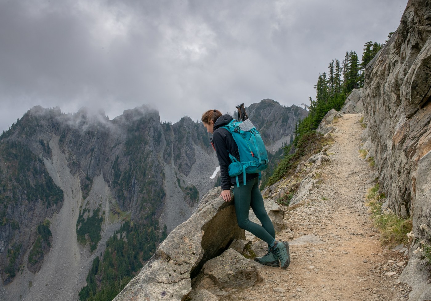

The Hiking Project: Exploring Trails and Caring for the Outdoors
A hiking project can be as simple as choosing a trail for the weekend or as ambitious as bringing neighbors together to map, maintain, and enjoy local paths. Either way, hiking offers a rewarding way to connect with nature, get moving, and discover the landscapes around Stillwater, New Jersey.
What Is a Hiking Project?
A hiking project is a planned effort to explore or improve access to trails. It might involve researching a route, organizing a group hike, documenting trail conditions, or helping with approved maintenance. A project can also encourage people to learn about local habitats and enjoy outdoor spaces responsibly.
For hikers, thoughtful planning makes a trip safer and more enjoyable. Check the route’s length and difficulty, review current conditions, and make sure the trail is open to the public. Local parks and land managers can provide important information about access, rules, and closures.
Plan a Hike in Stillwater
Sussex County’s varied landscape makes it an appealing place to spend time outdoors. Before heading out, choose a hike that matches the group’s experience and fitness level. Consider the distance, elevation, terrain, and weather, and allow extra time for breaks or unexpected delays.
- Bring water, snacks, and weather-appropriate layers.
- Wear sturdy footwear suited to the trail conditions.
- Carry a map or download route information before leaving home.
- Tell someone where you are going and when you expect to return.
- Follow posted rules and stay on marked trails.
Hike with Care
Responsible hiking helps protect the places people come to enjoy. Stay on established paths to limit damage to plants and soil, and pack out everything you bring in. Give wildlife space, keep noise to a considerate level, and respect private property and posted signs.
If your hiking project includes trail work, contact the park or land manager first. Trail maintenance should be coordinated with the people responsible for the land; unauthorized cutting, building, or marking can harm habitats and create safety problems.
Make It a Community Effort
Hiking is even more rewarding when shared. Invite friends or family, choose a route everyone can manage, and take time to notice the area’s scenery and history. A group can also help document trail conditions and share useful information with other hikers, while directing questions and maintenance concerns to the appropriate local organization.
Whether the goal is a peaceful afternoon walk or a longer outdoor adventure, a hiking project starts with curiosity and preparation. With respect for the trail and the people who care for it, each hike can help build a lasting connection to Stillwater’s natural surroundings.
Hiking Project FAQs: How It Works, Offline Access, Costs, and Hiking Tips
- How does the hiking project work?
- Is the hiking project free?
- What are the big 3 in hiking?
- Does hiking project work offline?
- What is the best free hiking app?
- Who owns Hiking Project?
- Why do hikers eat gummy bears?
- Can you use hiking project offline?
How does the hiking project work?
Hiking Project helps hikers find and explore trails through an online platform and mobile app. Browse trails by location, review maps, distance, elevation, difficulty, photos, and route details, then use the information to plan a hike. Trail information is contributed and updated by the hiking community, so check current conditions and local guidance before setting out.
Is the hiking project free?
Yes, Hiking Project is free to use. You can browse trail maps, routes, photos, and hiking information on its website or mobile app without a subscription. Some features may require an internet connection, so consider saving or downloading the information you need before heading out.
What are the big 3 in hiking?
In hiking and backpacking, the “Big 3” usually refers to the three main pieces of equipment that make up much of a hiker’s pack weight: the backpack, shelter (such as a tent), and sleep system (such as a sleeping bag and sleeping pad). Choosing lightweight, comfortable gear that suits the trail, weather, and trip length can make carrying a pack easier. Some hikers use slightly different definitions, so it’s worth checking how a particular gear list defines the term.
Does hiking project work offline?
Yes. The Hiking Project app lets you download maps for offline use before heading out, so you can view trail information and follow your location even where cell service is limited or unavailable. Download the area while you have an internet connection, and remember that GPS may still work without cell service; features that require internet, such as loading new information, may not be available offline.
What is the best free hiking app?
The best free hiking app depends on what you need, but Hiking Project is a strong option for discovering trails, with route details, maps, elevation profiles, and photos. AllTrails also offers a large trail database and useful free features, though some tools—such as offline maps—may require a paid subscription. Before heading out, download any available maps and check the app’s current features; cell service can be limited on the trail.
Who owns Hiking Project?
Hiking Project is owned by REI Co-op and operated through Adventure Projects, the outdoor-trail platform REI acquired in 2015. It provides trail information and maps for hikers through its website and mobile app.
Why do hikers eat gummy bears?
Hikers often eat gummy bears because they’re lightweight, easy to pack, and provide quick carbohydrates that can help fuel a long walk. Their sweet taste can also be a welcome morale boost on the trail. They’re not a complete source of nutrition, so hikers on longer outings should also bring water and more substantial snacks.
Can you use hiking project offline?
Yes. The Hiking Project app lets you download maps for offline use, so you can view trail information and track your location when cell service is limited or unavailable. Download the area you need while connected to Wi-Fi or mobile data before your hike, and consider carrying a paper map as a backup.
